Cities are reaching into space to solve urban challenges (and save money)
In the face of increasing urbanisation, smart cities are reaching into new frontiers for innovative and sustainable solutions to a wide range of challenges – from clogged roadways to the impacts of climate change.
In fact, many are reaching into space.
No longer futuristic devices used only by government agencies at the regional and national level, today space technologies, particularly satellite-based systems, are driving efficiencies in local government operations.

Below are just a few examples of pioneering cities catalogued by Eurisy, the non-profit association of space agencies that recently teamed with the European Innovation Partnership on Smart Cities and Communities (EIP-SCC) on its initiative to raise awareness of municipal satellite applications:
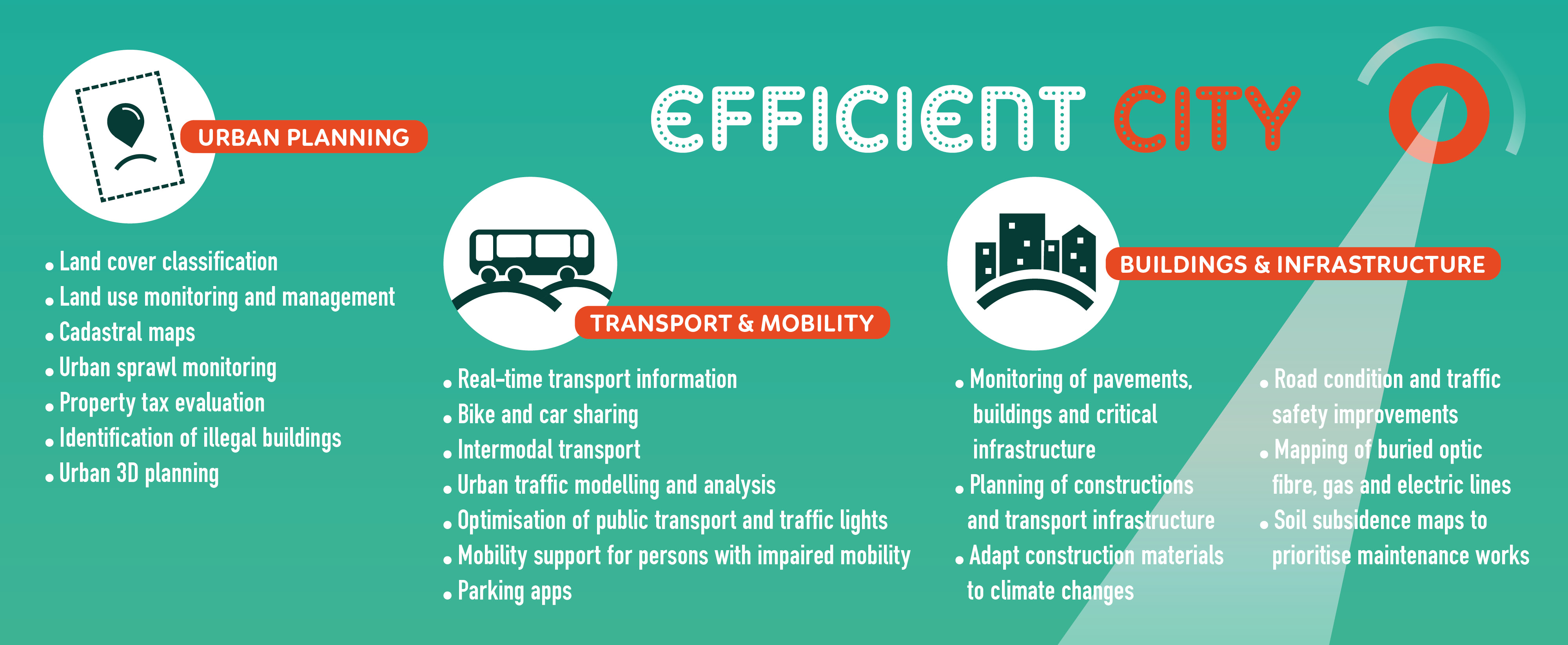
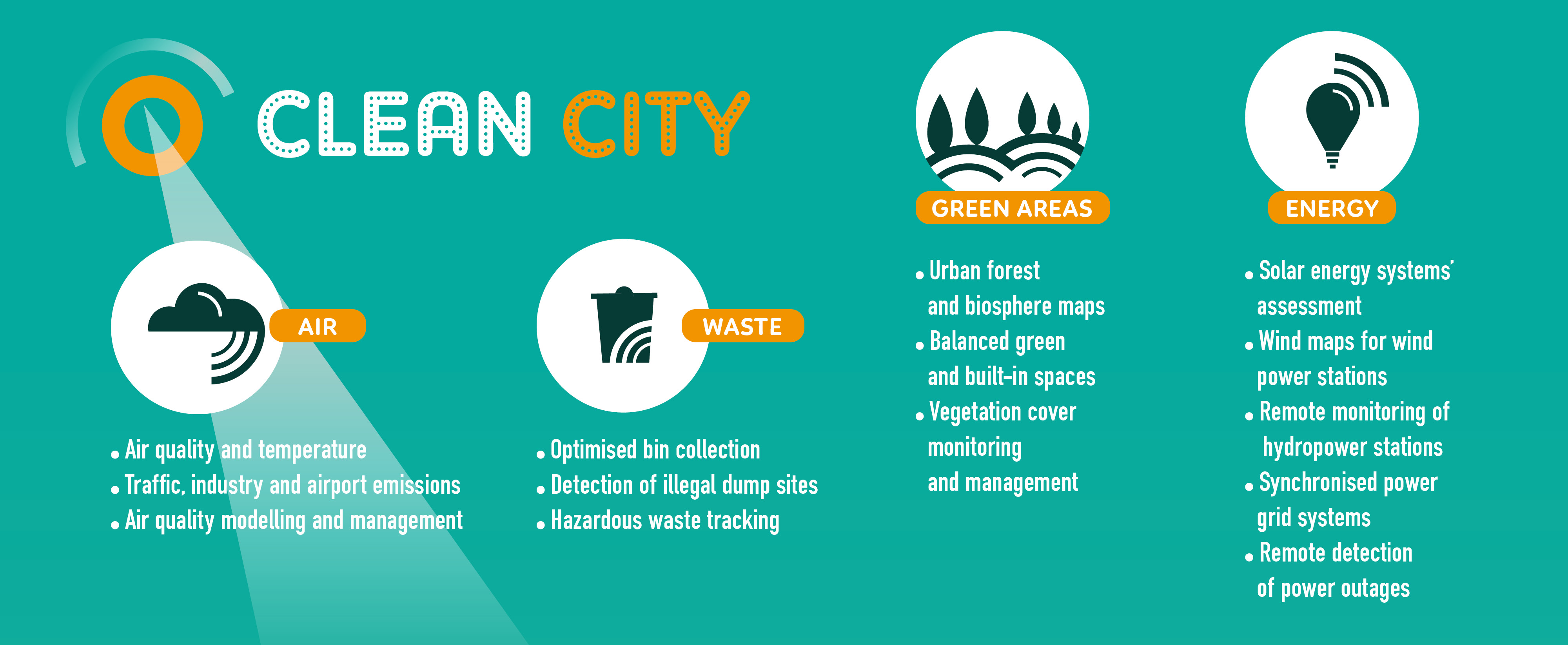
- Optimising waste collection: The fast-growing Municipality of Montpelier in southern France is using sensors and satellite connectivity to monitor organic waste compost trays in real time, enabling operators to reduce management costs by intervening when the trays are full, malfunctioning or emitting bad odours. In England, meanwhile, the Exeter City Council estimates its move to equip waste collection vehicles with satellite-enabled systems has generated £340k capital savings and £470k in revenue savings since implementation.

- Improving urban mobility: Austria’s charming city of Salzburg attracts millions of visitors every year, making tourism an important segment of the local economy. But officials worried that road congestion and delays could discourage tourists and residents alike from using Salzburg AG’s electric trolleybus fleet, which helps reduce carbon emissions and improve the city’s air quality. To address those concerns, the operator installed satellite navigation on all its trolleybuses, giving riders better information, enabling operators to reroute around traffic tie-ups and providing public officials with a keener understanding of infrastructure use for planning purposes.
- Enhancing public engagement: The capital city of Trieste in northeastern Italy wants a smooth and continuous dialogue with residents to better understand and respond to their needs. It chose to implement Comuni-Chiamo, a system first developed by students for Bologna and now used by more than 80 Italian local authorities. The app, based on satellite navigation, allows residents to send and monitor requests to the city in 11 categories – reporting damaged lighting, leaking pipes and the like. The system automatically prioritizes issues based on the number of entries received and enables the municipality to solve problems using less time and resources and to track trends.
- Monitoring land use and sprawl: In the Czech Republic’s capital of Prague, a heavy demand for housing led to the construction of 62,000 homes in the metro region in just a five-year period. To reconcile potentially conflicting uses of land and resources that resulted – for example the amount of green spaces compared to residential and industrial areas – the city acquired historical aerial and satellite images of Prague’s city core, suburbs and outskirts. The information gives planners insight into built-up areas and helps identify priorities for intervention (where to add more public transport, for example). The imagery also saves the city time and money by reducing the number of site inspections required.

Join the conversation in Ghent
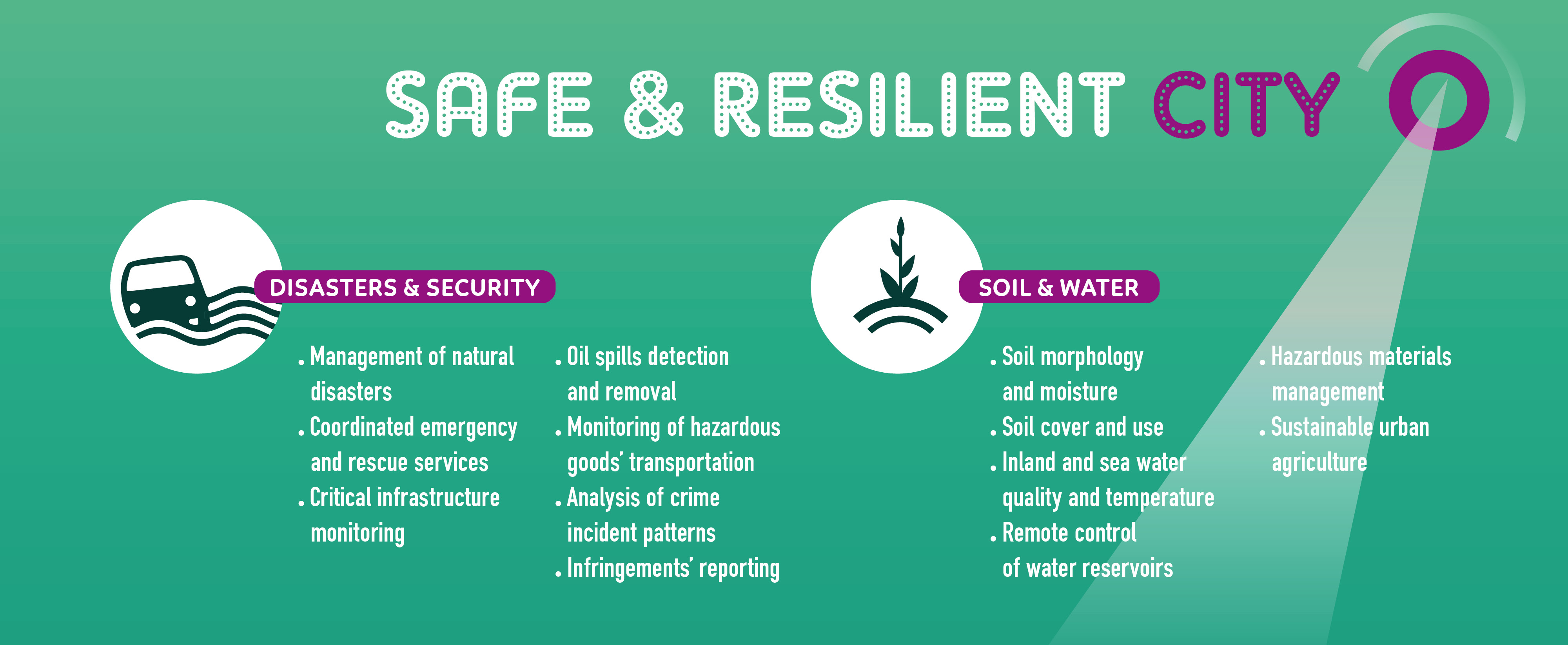
The examples above just skim the surface. From supporting emergency rescue operations to helping people with disabilities move about urban areas to identifying soil and infrastructure maintenance needs, there are dozens of ways smart cities are successfully using satellite-based earth observation imagery, communications and navigation technologies to enhance quality of life and improve their operations.
You can hear more from pioneering cities and satellite experts during the Space For Ghent: Satellite Data improving Life in Cities conference taking place at City Hall in Ghent, Belgium on Tuesday, March 6. There is no charge, but registration is required.
Bart De Lathouwer, Director Innovation Program and General Manager OGC Europe at Open Geospatial Consortium, will give a keynote speech to introduce the audience to EIP-SCC and to announce Eurisy’s collaboration with EIP-SCC on the Space4CitiesSurvey which will gather input on current usage and challenges in satellite-derived applications.
Conference participants will also learn about support and funding mechanisms available to municipalities interested in adopting satellite-based services. How to access and use existing datasets from earth observation satellites will also be addressed in detail.
