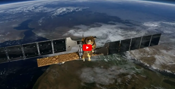
Eurisy and the French space agencies have produced some videos and case studies on how cities, regions and SMEs use data from the Copernicus satellites. Six European public and private organisations talk about how they use Copernicus data to improve their work in a number of sectors, ranging from environmental protection, cultural heritage and urban planning, to energy access, flood management and sailing.
Watch the videos and learn how data from satellites help adapt urban infrastructure to heat waves in Prague, better managing floods in Wallonia, safeguarding heritage in Rhodes and much more!